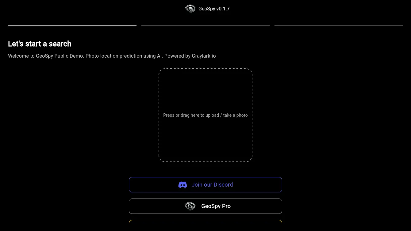
GeoSpy AI
POPULARExtract and analyze geolocation data from photos to gain valuable insights.
Try GeoSpy AI
What is GeoSpy AI?
Try GeoSpy AIGeoSpy AI is a powerful platform designed to enhance photo geolocation and intelligence capabilities. By leveraging advanced technologies, GeoSpy AI enables users to extract valuable location-based information from images, making it an essential tool for various industries, including law enforcement, security, and research.
Key Features of GeoSpy AI
1. Automated Geolocation
GeoSpy AI utilizes sophisticated algorithms to automatically determine the geographic location of images. This feature significantly reduces the time and effort required for manual geolocation.
2. Image Analysis
- Metadata Extraction: Extracts EXIF data and other metadata from images to provide context on when and where the photo was taken.
- Content Recognition: Analyzes image content to identify landmarks, landscapes, and other geo-relevant features.
4. Batch Processing
Users can upload multiple images for geolocation analysis simultaneously, streamlining workflows for large-scale projects.
5. User-Friendly Interface
Designed with an intuitive interface, GeoSpy AI makes it easy for users of all technical levels to navigate and utilize the platform effectively.
Use Cases of GeoSpy AI
1. Law Enforcement
- Criminal Investigations: Officers can use GeoSpy AI to geolocate evidence photos, helping to establish timelines and locations relevant to investigations.
2. Security and Surveillance
- Incident Analysis: Security personnel can analyze images from surveillance cameras to determine exact locations and gather intelligence on security breaches.
3. Disaster Response
- Field Assessments: First responders can geolocate images taken during disasters to assess damage and coordinate relief efforts effectively.
4. Real Estate
- Property Listings: Real estate professionals can enhance property listings with geolocated images, showcasing neighborhood features and amenities.
5. Environmental Research
- Biodiversity Studies: Researchers can document wildlife sightings with geolocation data, contributing to conservation efforts and studies.
6. Travel and Tourism
- Travel Blogs and Guides: Travel bloggers can enrich their content with accurate geolocated photos, providing readers with contextual information about locations.
7. Marketing and Advertising
- Targeted Campaigns: Marketers can analyze geolocation data to tailor advertising campaigns based on specific locales and demographics.
8. Social Media Analytics
- Content Engagement: Brands can track user-generated content and analyze geolocated images to understand audience engagement in different regions.
9. Journalism
- Fact-Checking: Journalists can verify the locations of images to ensure accuracy in reporting, enhancing credibility and trustworthiness.
10. Academic Research
- Data Collection: Academics can gather geolocated images for studies in geography, sociology, and environmental science.
Conclusion
GeoSpy AI stands out as a comprehensive tool for photo geolocation and intelligence analysis. Its robust features and diverse use cases make it an invaluable resource for various sectors, from law enforcement to environmental research. By simplifying the process of geolocating images, GeoSpy AI empowers users to make informed decisions based on accurate location data.


