


 EDITORS' CHOICE
 OSIRIS Intelligence
EDITORS' CHOICETrack live aircraft, satellites, worldwide CCTV cameras and more on a 3D globe.
Try OSIRIS Intelligence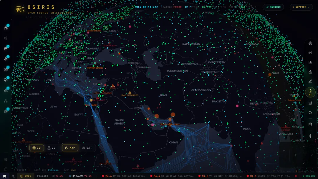
What is OSIRIS Intelligence?
Try OSIRIS IntelligenceOSIRIS is a free, open-source intelligence (OSINT) platform that brings real-time and near-real-time information from multiple public data sources into a single interactive global map. It combines aviation and maritime tracking, satellite positions, earthquakes, wildfires, weather, surveillance-camera feeds, cyber-threat information, and global news to help users investigate events geographically.
Features:
- Interactive Global Intelligence Map: Explore geographic data through a WebGL-powered map with layers for flights, ships, satellites, cameras, weather, fires, earthquakes, and other events.
- Live Tracking & Monitoring: Follow aircraft, maritime activity, orbital objects, space weather, and other available public feeds.
- RECON & OSINT Toolkit: Perform DNS lookups, WHOIS queries, SSL certificate investigations, IP intelligence checks, and authorized network scans directly in the browser.
- Alerts & Intelligence Feeds: Explore news, incidents, environmental hazards, and other data layers to investigate developments across regions.
- AI Assist & Forecast: Ask questions in natural language, explore relevant map information, and simulate possible future scenarios using AI.
- Open API & Integrations: Access public JSON endpoints and connect supported intelligence tools to scripts or AI agents through the API and MCP interface.
Published on Oct. 17, 2026