


 EDITORS' CHOICE
 Old Maps Online
EDITORS' CHOICEExplore and discover historical maps from various sources around the world.
Try Old Maps Online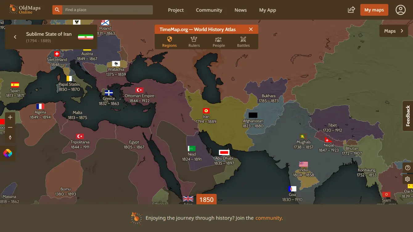
What is Old Maps Online?
Try Old Maps OnlineOld Maps Online is a web platform that allows users to search for and view historical maps from multiple collections. It provides a user-friendly interface for browsing maps by location and date, making it an invaluable resource for researchers, historians, and enthusiasts of cartography.
The site aggregates maps from various libraries and archives, enabling users to view and compare historical maps alongside modern maps for better context and understanding.
Features:
- Map Search: Search for historical maps by location and time period.
- Interactive Interface: User-friendly map viewer for easy navigation and exploration.
- Layering Options: Overlay historical maps on modern maps for direct comparison.
- Collection Access: Access maps from various libraries and archives.
- Metadata Information: Detailed descriptions and metadata for each map.
- Zoom Functionality: Zoom in and out for detailed views of maps.
Use Cases:
- Research: Utilize historical maps for academic research and projects.
- Genealogy: Aid in family history research by locating ancestral properties.
- Travel Planning: Explore historical routes and locations for travel inspiration.
- Teaching: Use in educational settings to teach about history and geography.
- Cultural Studies: Study the evolution of places and landscapes over time.
- Comparative Analysis: Compare historical and contemporary maps for trends.
- Art Projects: Use maps as inspiration for creative and artistic endeavors.
- Local History: Investigate the historical geography of specific regions.
Published on May. 15, 2025