What is Rapid Editor?
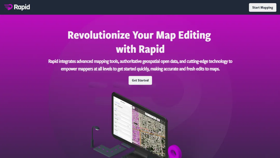
Try Rapid EditorRapid Editor is a website that offers innovative tools and features to revolutionize map editing. It provides advanced functionalities to enhance the process of creating and editing maps with efficiency and precision.
Features:
- Intuitive Interface: Offers a user-friendly interface for seamless map editing.
- Interactive Editing: Provides interactive tools to easily create and modify map elements.
- Advanced Layers: Allows for the management of multiple layers to organize map components effectively.
- Custom Styling: Offers customizable styling options to create visually appealing and personalized maps.
- Collaboration: Enables collaboration among multiple users for simultaneous map editing and sharing.
- Export and Integration: Supports exporting maps in various formats and integration with other platforms.
Use Cases:
- Geographical Mapping: Revolutionize the process of creating and editing geographical maps for various purposes, such as urban planning, logistics, and tourism.
- Data Visualization: Utilize Rapid Editor to visually represent complex data on maps, making it easier to analyze and interpret information.
- Interactive Map Creation: Create interactive maps with clickable elements, tooltips, and customized interactivity for engaging user experiences.
- Collaborative Map Editing: Facilitate collaboration among teams working on map editing projects, allowing for real-time editing and seamless sharing of changes.
- Custom Map Styling: Customize the visual appearance of maps to match branding guidelines or personal preferences.
- Map Integration: Integrate edited maps into websites, applications, or presentations to enhance the visual representation of location-based information.
Published on Jan. 26, 2024


