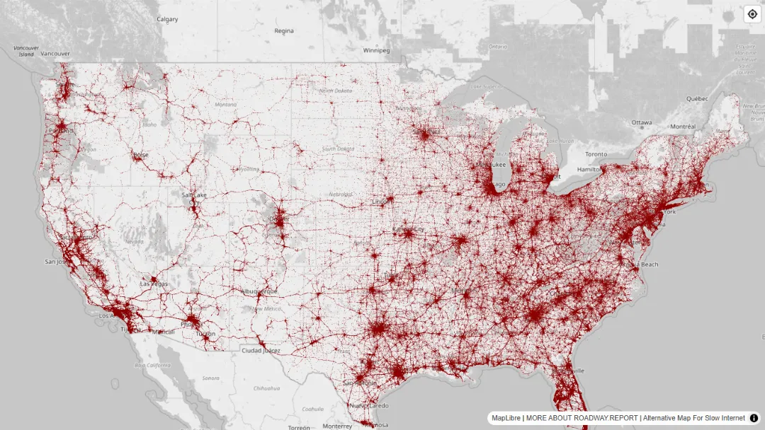


 TRENDING
 WaterwayMap.org
Explore and edit river basin data on an interactive map using OpenStreetMap.
Try WaterwayMap.org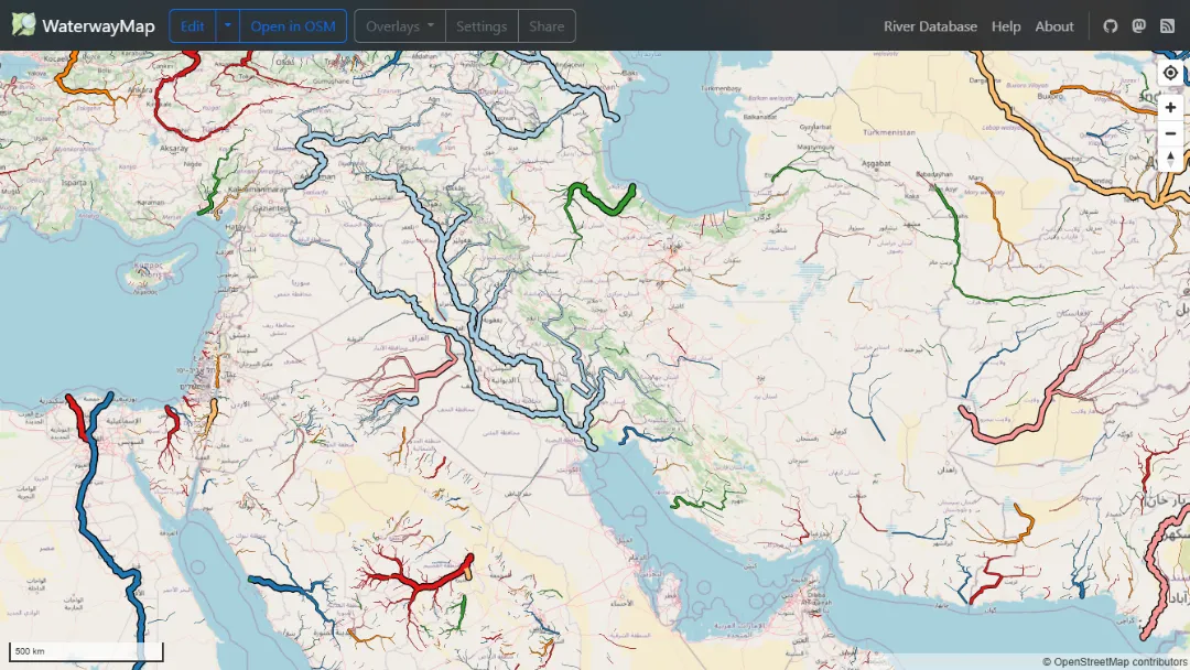
What is WaterwayMap.org?
Try WaterwayMap.orgWaterwayMap.org is an interactive online mapping tool that focuses on river basins and waterways using OpenStreetMap (OSM) data. It allows users to visualize, edit, and analyze river systems globally. The platform features various overlays and filters to customize views of waterways based on type and length. Users can contribute to the OSM project by editing data directly, making it a valuable resource for environmental studies, navigation, and recreational planning.
Features:
- Interactive Map: View river basins and waterways on an easy-to-navigate map interface.
- Editing Tools: Options to edit data using iD or JOSM editors.
- Overlays: Different layers to display specific data about waterways, like loops and ends.
- Data Filtering: Filter waterways by type and length to refine search results.
- Share Options: Generate links to share specific views or data with others.
- Database Access: Access to a comprehensive river database for research and analysis.
- Settings Customization: Adjust map colors and display settings to suit user preferences.
Published on Jun. 8, 2025