

 EDITORS' CHOICE
 Soar Atlas
EDITORS' CHOICEExplore and discover satellite imagery, and geospatial data from around the world.
Try Soar Atlas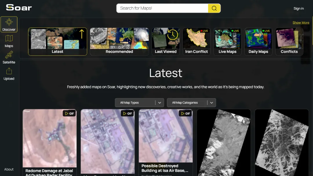
What is Soar Atlas?
Try Soar AtlasSoar Atlas Discover is a web-based geospatial exploration platform that provides access to a vast collection of maps, satellite imagery, drone imagery, historical maps, and user-contributed geographic content. It functions as a community-driven digital atlas where users can browse, search, view, compare, and interact with georeferenced maps and imagery from around the world.
Features:
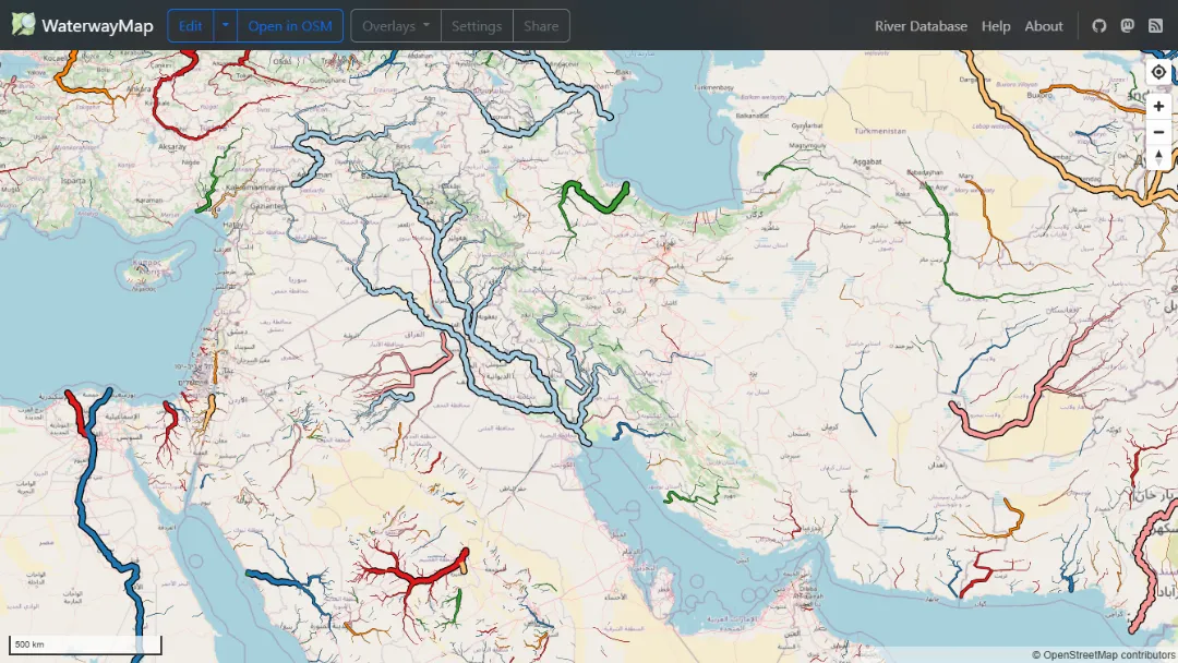
- Global Map Library: Access a massive collection of maps, satellite images, drone imagery, and historical geographic content from around the world.
- Advanced Search: Search and discover maps, locations, satellite imagery, and user-generated geographic datasets.
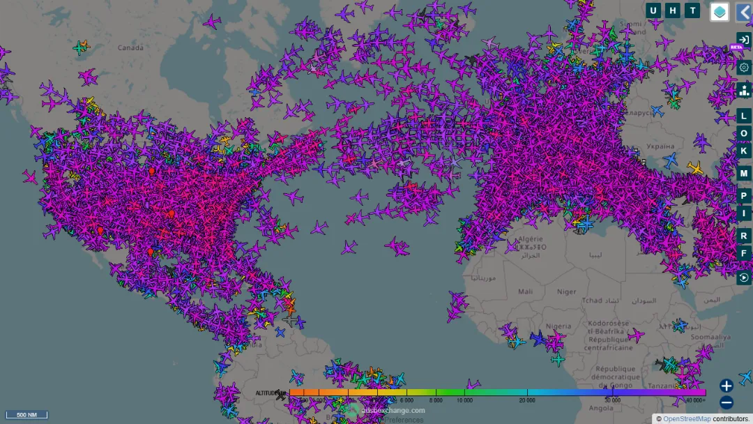
- Satellite Imagery Access: Browse near real-time and historical satellite imagery from multiple providers, including Sentinel archives.
- Map Comparison Tools: Compare maps and imagery using different basemaps and transparency controls for visual analysis.
- Community Contributions: Upload, share, and publish your own maps and geospatial content while retaining ownership rights.
- Bookmarks & Collections: Save favorite maps and organize geographic discoveries for future access.
Use Cases:
- Geographic Research: Study locations, terrain, environmental conditions, and geographic changes using diverse mapping resources.
- Historical Analysis: Explore historical maps and compare past and present landscapes to understand geographic evolution.
- Environmental Monitoring: Track events such as wildfires, floods, hurricanes, and other environmental changes through satellite imagery.
- Education & Learning: Use maps and imagery as teaching resources for geography, earth science, and spatial studies.
Published on Jun. 12, 2026