

 EDITORS' CHOICE
 Zoom Earth
EDITORS' CHOICETrack weather, storms, satellite imagery, and forecasts around the world.
Try Zoom Earth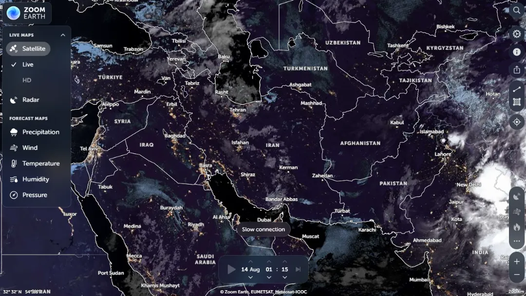
What is Zoom Earth?
Try Zoom EarthZoom Earth is an interactive global weather map that combines near-real-time satellite imagery, precipitation radar, weather forecasts, and environmental monitoring into one visual platform. It lets users explore current conditions and forecast data for locations around the world while watching weather systems develop over time.
Features:
- Satellite Imagery: View near-real-time global satellite imagery showing cloud formations and developing weather systems.
- Rain Radar: Monitor current precipitation through an interactive radar map showing rain and snow detected by weather radar.
- Weather Forecasts: Explore forecast maps for precipitation, wind, gusts, temperature, humidity, pressure, and other conditions.
- Storm Tracking: Follow hurricanes, cyclones, and other major storms with interactive maps and movement information.
- Wildfire Monitoring: View wildfire and smoke-related information alongside satellite imagery and weather conditions.
- Interactive Map: Search locations and switch between different weather and environmental layers while zooming and moving around the globe.
Published on Aug. 13, 2026